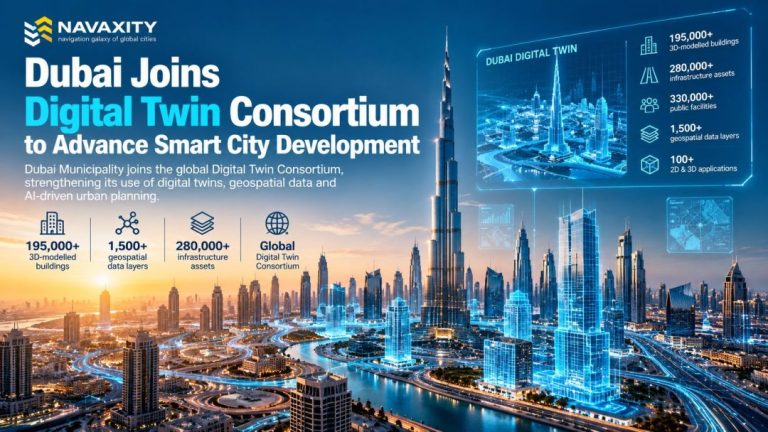





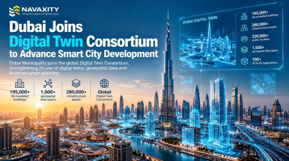
Dubai Municipality has joined the Digital Twin Consortium, strengthening the city’s international collaboration on digital twins, geospatial technology and data-driven urban management. (WAN)
Dubai Municipality, represented by its GIS Centre, joined the international Digital Twin Consortium (DTC) as part of a broader effort to expand the use of advanced geospatial technologies in urban planning and infrastructure management. The move was announced on October 5, 2026, following the municipality’s participation in the Consortium’s latest members’ meeting.
The membership gives Dubai access to an international network of government organisations, technology companies, researchers and urban-planning specialists working on digital twin standards and applications. It will also allow Dubai Municipality to participate in specialised working groups and contribute to discussions about future digital twin standards and use cases (Smart Cities World).
Dubai Is Building a Digital Replica of the City
Dubai’s latest move builds on an existing Dubai Digital Twin Platform, which was formally launched earlier in 2026.
The platform is designed as a virtual representation of Dubai, combining spatial and operational data on buildings, infrastructure, facilities, landmarks and other urban assets. The system is intended to support urban planning, infrastructure management, scenario simulation and data-driven decision-making.
The scale of the project is significant. Dubai Municipality says it has already created detailed 3D models of more than 195,000 buildings across the emirate. The broader digital model also includes more than 280,000 infrastructure assets, over 330,000 public facilities and assets, more than 1,500 geospatial data layers and over 100 two- and three-dimensional applications.
From 3D Mapping to Urban Decision-Making
The importance of Dubai’s Digital Twin strategy goes beyond creating an impressive three-dimensional map of the city.
The municipality is integrating the platform with operational systems, including the No Objection Certificate (NOC) system, while working with utility providers and other organisations. This creates the possibility of connecting planning, infrastructure and permitting data within a common digital environment.
The platform can also be used to simulate real-world conditions before physical changes are implemented. For a rapidly developing city such as Dubai, this could allow planners to test the potential effects of infrastructure projects, urban expansion and other interventions before committing significant resources on the ground.
Why Digital Twins Matter for Cities
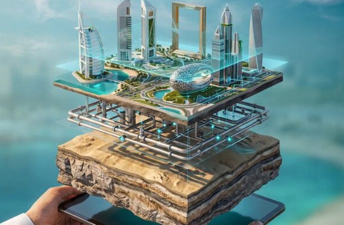
A digital twin is essentially a dynamic digital representation of a physical environment. At the city scale, it can combine 3D models, GIS data, infrastructure information, sensors and operational datasets to provide a more comprehensive picture of how an urban system works.
The potential applications are broad. Cities can use digital twins to examine transportation networks, infrastructure, utilities, land use and environmental conditions, while testing different scenarios before implementing them in the physical city (OECD).
For Dubai, the technology is particularly relevant because the emirate continues to experience rapid urban development. A digital model can provide planners with a common environment in which different government agencies and private-sector partners can coordinate infrastructure and development.
Dubai’s Next Step: Turning Data Into Urban Intelligence
Joining the Digital Twin Consortium signals that Dubai is moving beyond simply developing its own platform and is seeking greater international collaboration around standards, interoperability and best practices.
This distinction matters. The long-term value of a digital twin depends not only on how accurately a city can be modelled, but also on whether different datasets and institutions can work together effectively.
Dubai Municipality’s participation in the Consortium could therefore help connect the emirate’s existing digital infrastructure with international approaches to digital twin development and urban data management.
| Indicator | Dubai Digital Twin |
|---|---|
| 3D-modelled buildings | 195,000+ |
| Infrastructure assets | 280,000+ |
| Public facilities and assets | 330,000+ |
| Geospatial data layers | 1,500+ |
| 2D & 3D applications | 100+ |
| International digital twin collaboration | Digital Twin Consortium |
Source: Dubai Municipality / Government of Dubai.
What It Means for Dubai
Dubai’s Digital Twin strategy reflects a broader shift in urban development: cities are increasingly attempting to manage their physical environments through digital models, real-time data and simulation rather than relying exclusively on traditional planning tools.
For Dubai, the objective is not simply to create a virtual version of the city. The larger ambition is to use that model as an operational layer connecting urban planning, infrastructure, public services and future scenario planning.
If successfully integrated across government and infrastructure systems, Dubai’s Digital Twin could become an important example of how a rapidly growing global city uses digital technology to manage increasingly complex urban systems.